
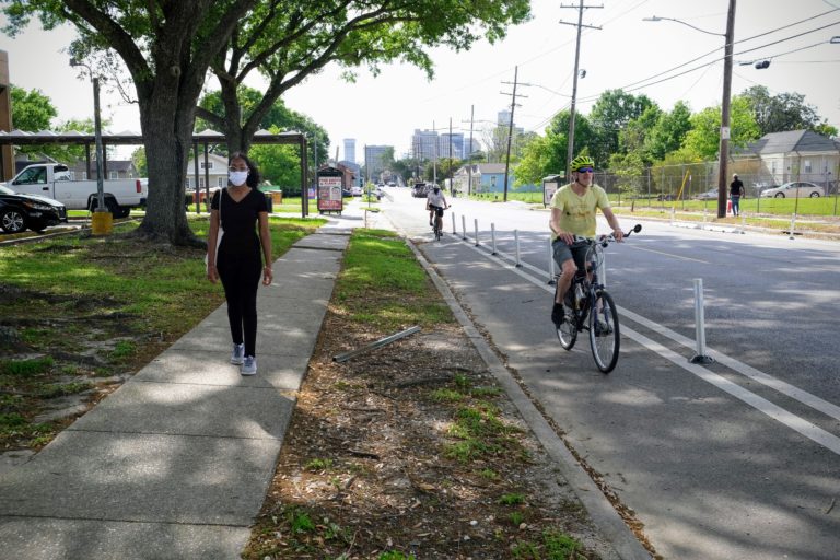
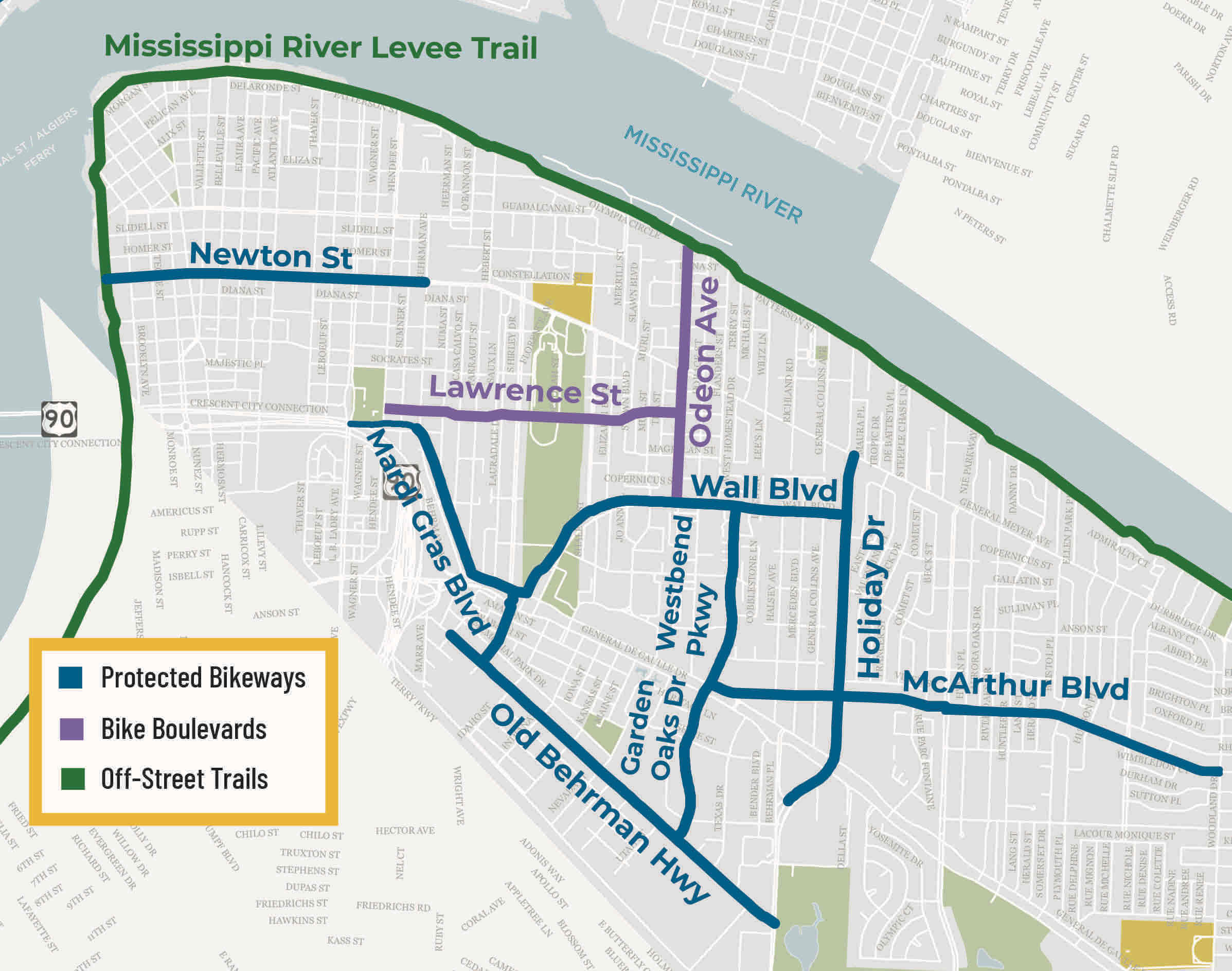
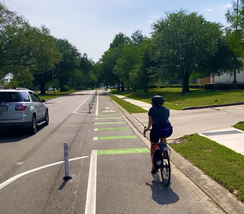
 New Protected Bikeways on Garden Oaks Drive
MNOB Complete Streets Renovation – New striping and vertical flex posts to add protected bikeways in each direction, as well as replacing and repairing concrete panels and joints, adding curb ramps at corners, improving drainage, improving access to bus stops, improving sidewalks, and installing crosswalks from Old Behrman Highway to Gen de Gaulle Drive
Download Garden Oaks Drive factsheet from the City of New Orleans – Dept of Public Works
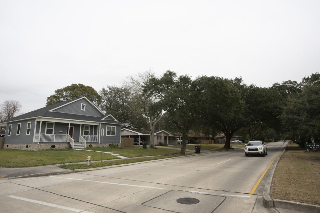
Previous – One lane of vehicular traffic going in each diretion.
Garden Oaks Drive before MNOB renovation
 Lawrence Street with MNOB Renovations
MNOB Complete Streets Renovation – Repaving the roadway, adding curb ramps at corners, improving drainage, improving sidewalks, installing crosswalks, adding a bicycle route, and improving intersection geometry from Hendee Street to Odeon Avenue.
Download Lawrence Street factsheet from the City of New Orleans – Dept of Public Works
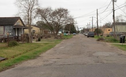
Previous – One lane of vehicular traffic going in each direction.
Lawrence Street before MNOB renovation
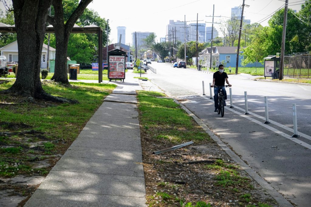 Newton Street with new protected bikeways
MNOB Complete Streets Renovation – New striping and vertical flex posts to add protected bikeways in each direction and remove one lane of parking on the north side, from Elmira Avenue to Behrman Avenue.
Download the Newton Street factsheet from the City of New Orleans – Dept of Public Works
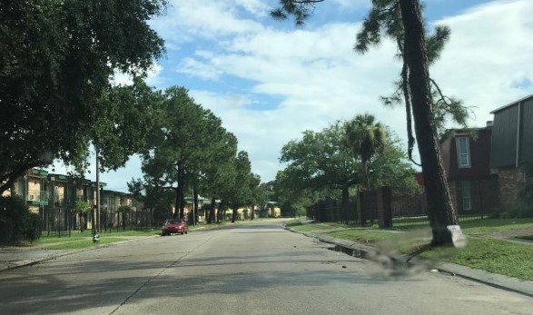
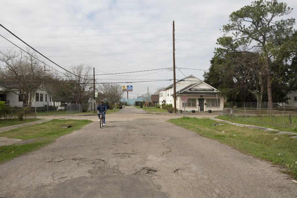
Previous – Two lanes of vehicular traffic going in each direction, with shared lane markings and right-side parking.

Newton Street before MNOB renovation
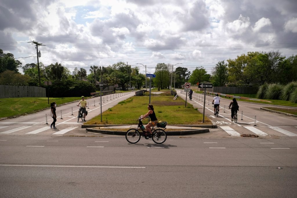 Wall Boulevard with new protected bikeways
MNOB Complete Streets Renovation – New striping and vertical flex posts to add protected bikeways in each direction from Cypress Acres Drive to Lees lane. From Lees Lane to Holiday Drive, improvements will include new striping and vertical flex posts to add protected bikeways and remove one lane of parking in each direction. Other improvements include replacing and repairing concrete panels and joints, adding curb ramps where sidewalks exist, installing a shared-use trail, improving access to bus stops, repairing sidewalks, improving intersection geometry, and adding stop signs at Pace Blvd.
Download the Wall Boulevard factsheet from the City of New Orleans – Dept of Public Works
Previous – One lane of vehicular traffic going in each direction with right-side parking.
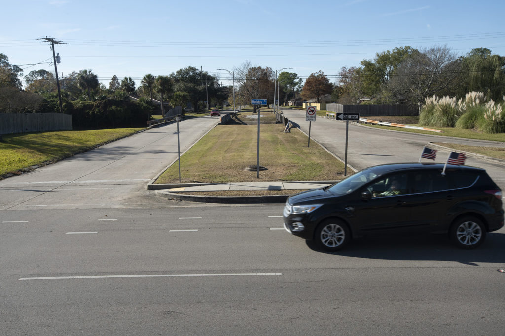
Wall Boulevard before MNOB renovation
 New Bikeways on MacArthur Boulevard
MNOB Complete Streets Renovation – Improvements include installing protected bike lanes, improving access to bus stops, improving intersection geometry, and installing crosswalks. Between General de Gaulle Drive and Holiday Drive, the westbound lanes will be reconfigured as a two-way protected bike lane and two vehicular lanes, while the eastbound configuration will remain as two vehicular lanes, a one-way bike lane, and a parking lane. Between Holiday Drive and Kabel Drive, the roadway will be reconfigured to two vehicular lanes and a protected bike lane in each direction. Between Kabel Drive and Woodland Drive, the roadway will
be reconfigured as one vehicular lane, one parking lane, and a protected bike lane in each direction. The proposed improvements are designed to address pavement quality issues, improve overall safety, and make MacArthur Blvd a more comfortable place to walk, bike, drive and use transit.
Download MacArthur Boulevard factsheet from the City of New Orleans – Dept of Public Works
Click here to view the MacArthur Boulevard ‘How to’ Guide.
Click here for common questions and answers on MacArthur Boulevard.
Previous – Two lanes of vehicular traffic going in each direction, with right-side parking.
MacArthur Boulevard before MNOB renovation
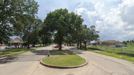
MNOB Complete Streets Renovation – Repaving the roadway, adding curb ramps at corners, adding shared lane markings and bicycle wayfinding signage, adding stop signs and roadway striping, improving visibility and installing crosswalks at General Meyer, and adding a bicycle route between Wall Boulevard and Patterson Drive.
Download the Odeon Street factsheet from the City of New Orleans – Dept of Public Works
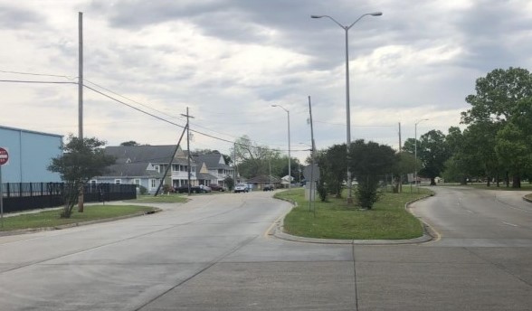
Previous – Two lanes of vehicular traffic going in each direction.
Odeon Street before MNOB renovation
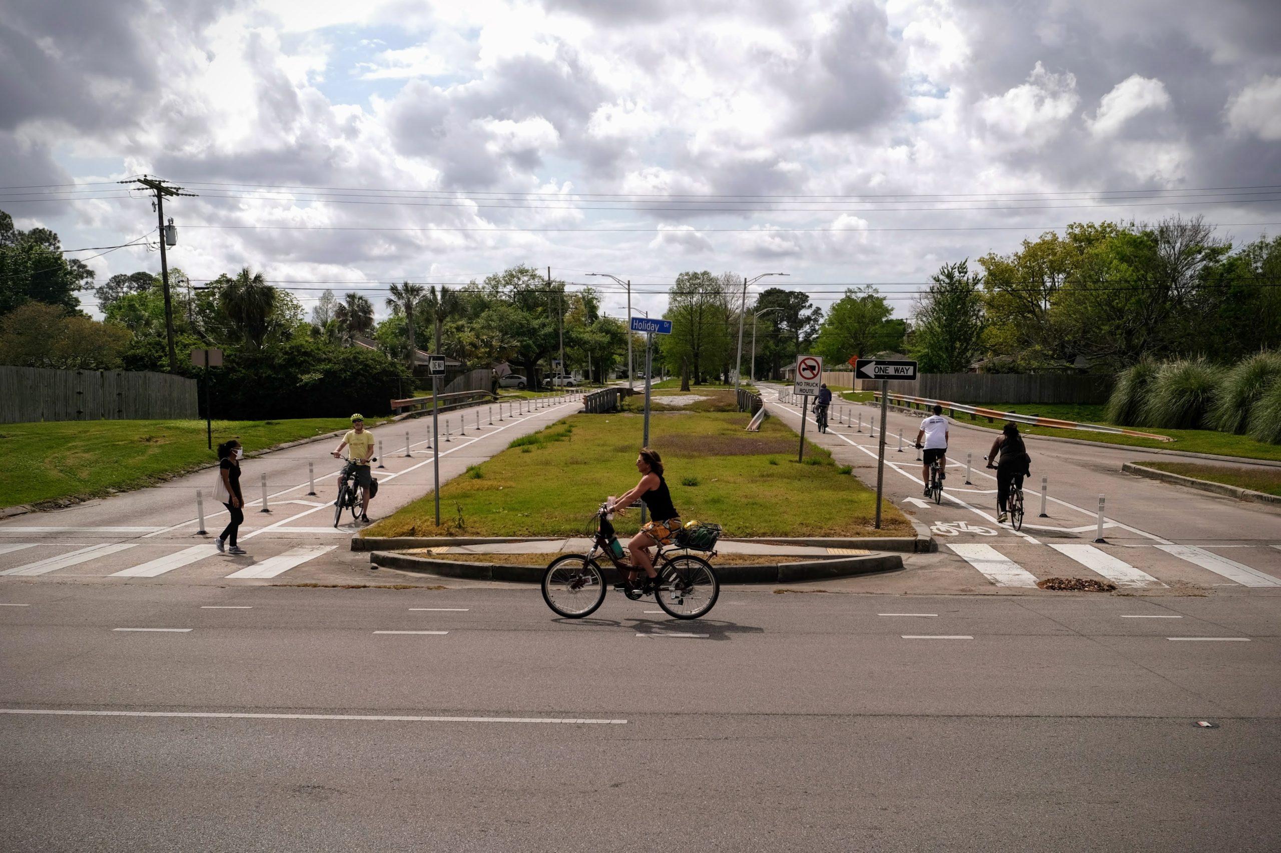
MNOB Complete Streets Renovation – New striping and vertical flex posts to create parking protected bikeways and remove one lane of vehicular traffic in each direction, as well as , improving access to bus stops, installing marked crosswalks, improving intersection geometry and site distances at driveways between Berhman Place and Macarthur Boulevard, and adding new pedestrian signals at MacArthur.
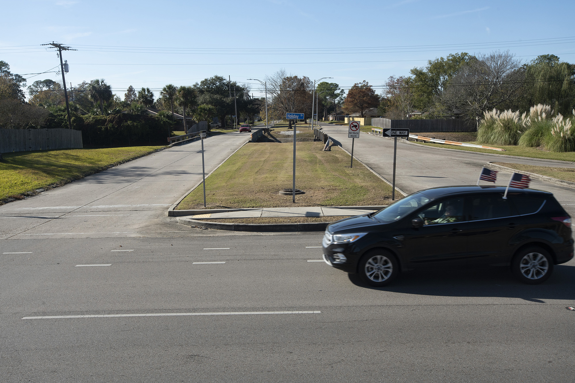
Download Holiday Drive factsheet from the City of New Orleans – Dept of Public Works
Previous – Two vehicular travel lanes, on-street parking, and an unprotected bike lane in each direction.
Holiday Drive prior to MNOB renovation.
MNOB Complete Streets Renovation – New striping and vertical flex posts to add a 2-way protected bikeway and remove one lane of vehicular traffic on the northbound/riverbound side, as well as improving sidewalks, installing crosswalks, and adding pedestrian signals at General de Gaulle Drive.
Download Mardi Grase Boulevard factsheet from the City of New Orleans – Dept of Public Works
Previous – Two lanes of vehicular traffic going in each direction, with right-side parking.
Mardi Gras Boulevard before MNOB renovation
MNOB Complete Streets Renovation – New striping and vertical flex posts to add protected bikeways and remove one lane of parking in each direction, as well as replacing and repairing concrete panels and joints, adding curb ramps at corners, improving access to bus stops, repairing sidewalks, installing pedestrian signals at General de Gaulle Drive, and installing crosswalks from General de Gaulle Drive to Wall Boulevard.
Download the Westbend Parkway factsheet from the City of New Orleans – Dept of Public Works
Previous – One lane of vehicular traffic going in each direction with right-side parking.
Westbend Parkway before MNOB renovation

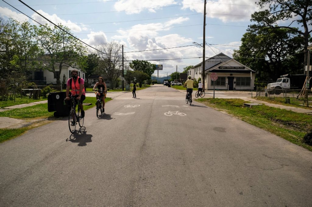
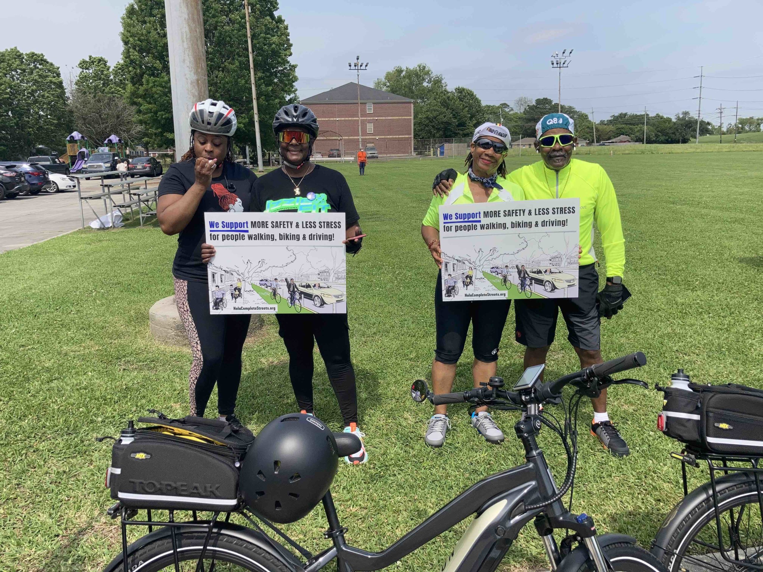
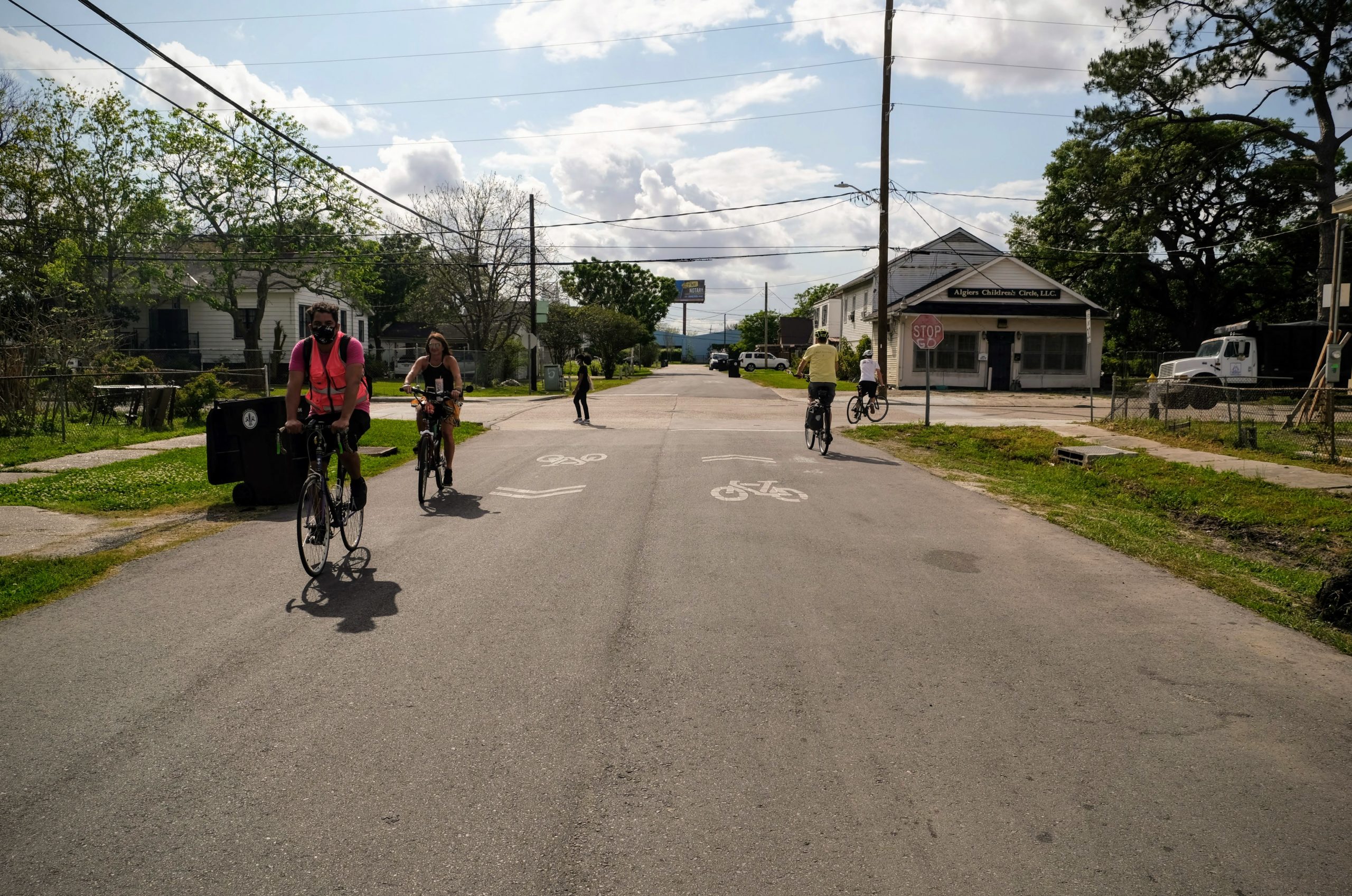
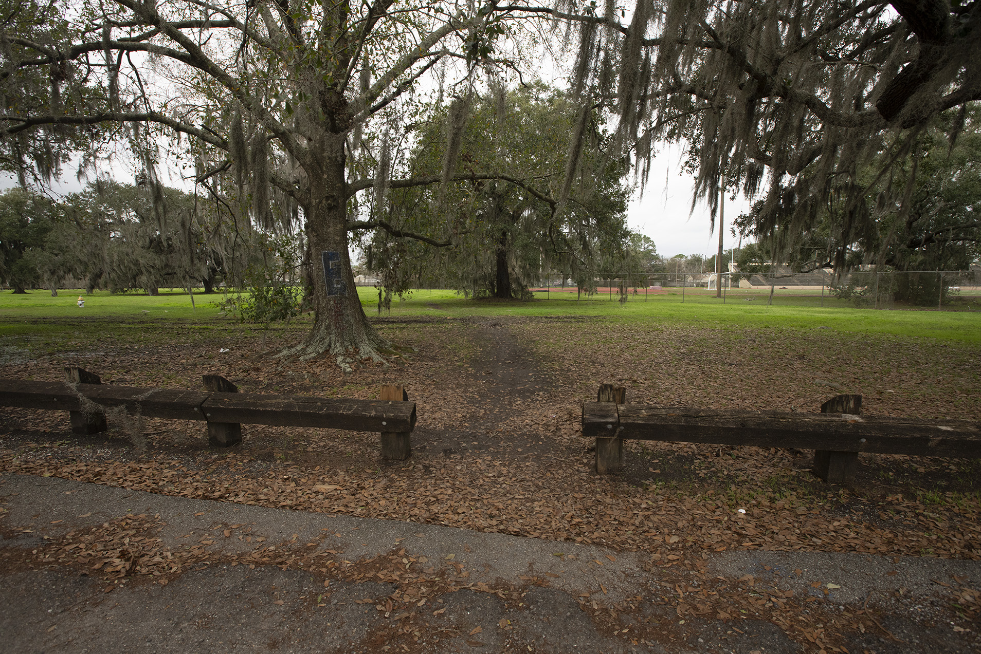
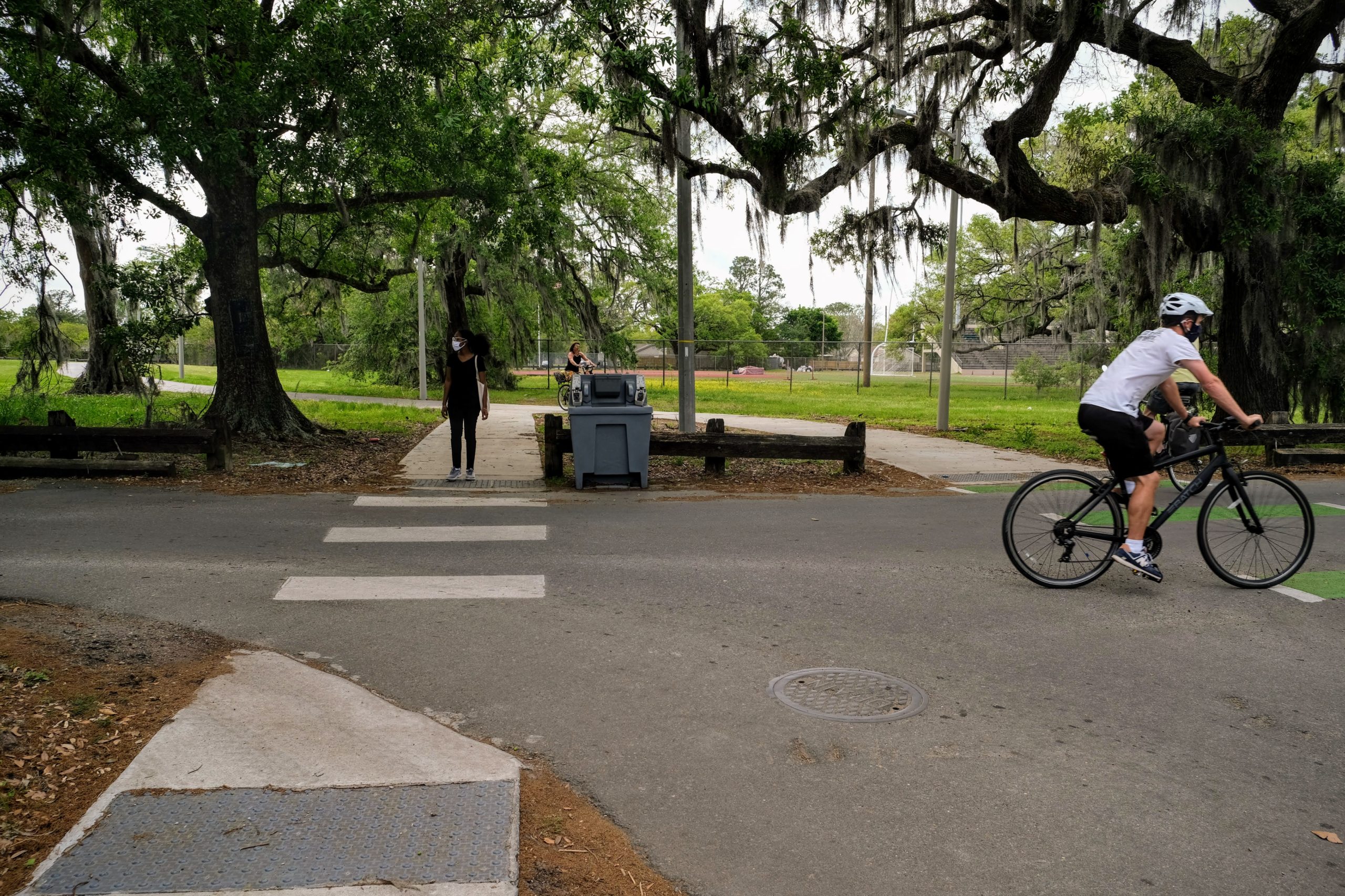
Family Bike Ride Tours the New Algiers Bikeways

This Sunday evening we were lucky to have a perfect break in the rain for the Algiers Family Bike Ride! We started off in Berhman Park with a bike light…
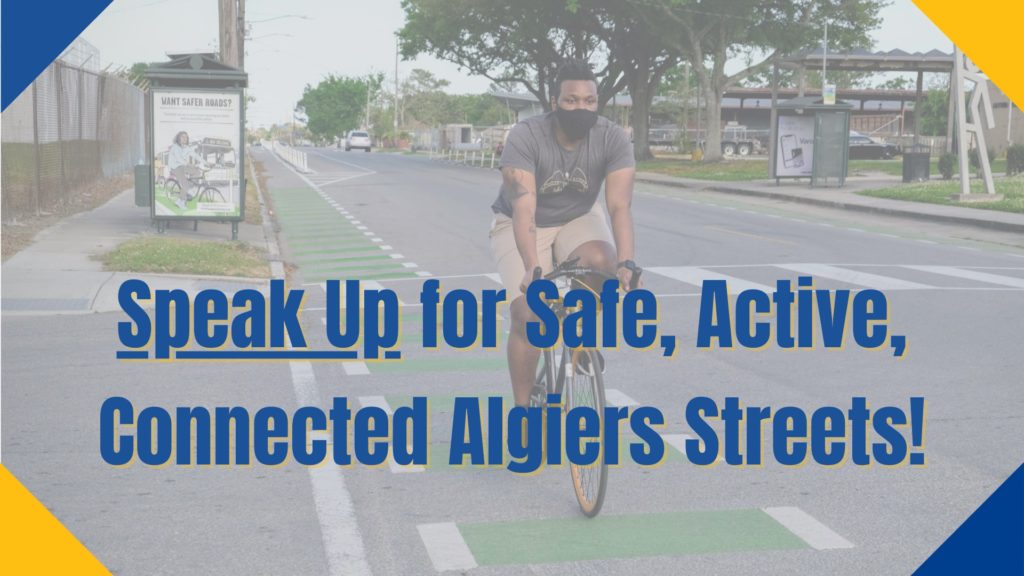
Celebrating new bikeways in Algiers with Councilmember Palmer
Last weekend, we joined Councilmember Kristin Palmer at the Cutoff Recreation Center in Algiers to celebrate all the new great ways to bike around Algiers! Through her determined advocacy, the…

